I’m back in Montréal following a very relaxing week spent in the Abitibi region of Quebec.
Rather than getting straight back to shooting in Montreal, I’ve decided to share some shots over the next few days from my little road trip. I’m still working my way through all the images and thought I would focus each post on a particular subject:
- Landscape
- Covered bridges
- Sunrise and Sunsets
- Some other places visited
First, a little bit of background on the region…
Where is Abitibi?
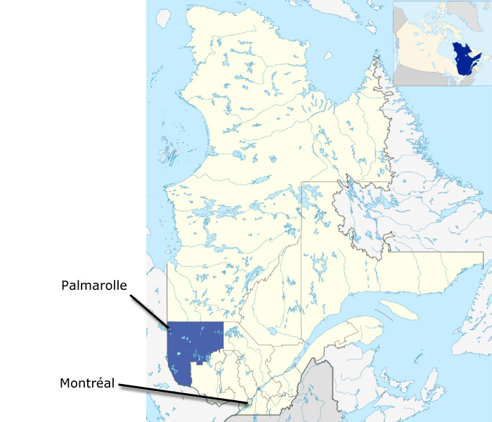
Abitibi is situated in the North West of Québec and is part of the administrative region called Abitibi-Témiscamingue. With a total area of 65,000 km2, it’s the fourth largest region of the province but has a population of just around 145,000 making it the 3rd least populated region in Québec – So a great place to escape from the populous island of Montréal 😉
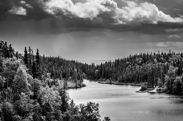
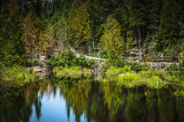
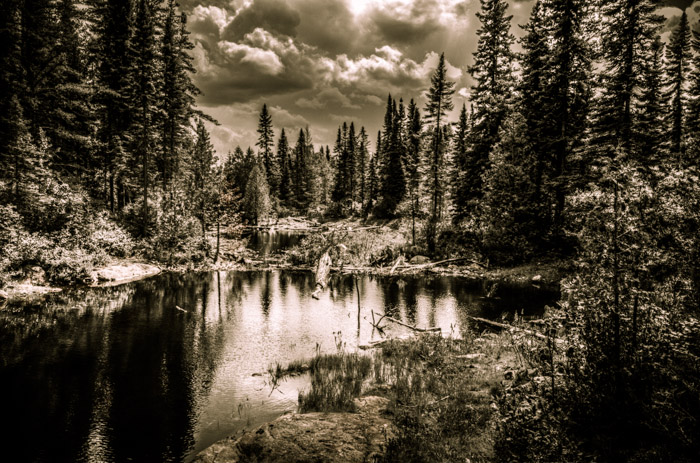
We were staying in Palmarolle – a small community on the East shore of Lake Abitibi in the North of Abitibi-Témiscamingue. Palmarolle is about 700km drive from Montreal and highway 117 is a scenic drive – a large part (200km) of which traverses La Vérendrye nature reserve, where all you see is forest and lakes. Maybe next time I will do a time-lapse of the journey.
This was only my second visit to the region (the last trip made in 2010) and already looking forward to visiting again – hopefully next time in winter, although the drive would likely not be as relaxing in heavy snow.
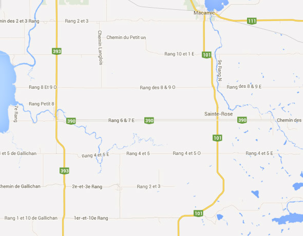
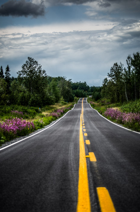
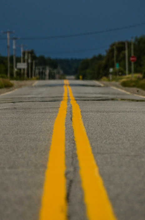
The roads in Abitibi are pretty good – no traffic jams and are often straight for miles and form a grid system.
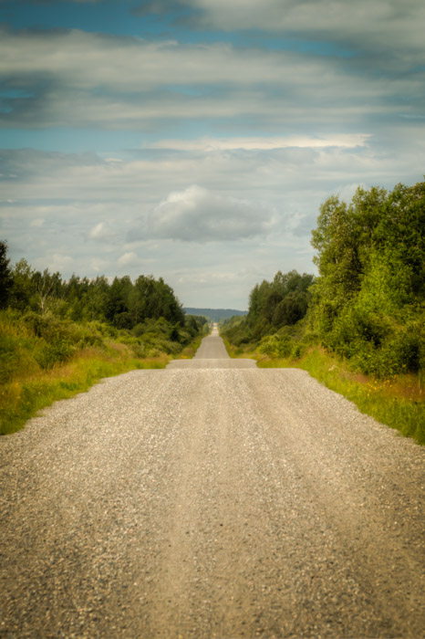
A lot of the secondary roads are gravel. This next one was actually just north of Abitibi in the Nord-du-Québec region. We visited a tiny place called Val-Paradis, where the road pretty much ends – except for an 800km gravel road to Baie-James – Our next road trip perhaps 😉
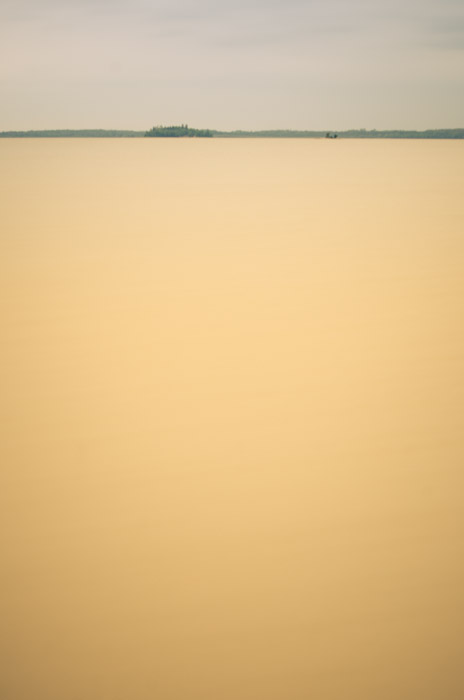
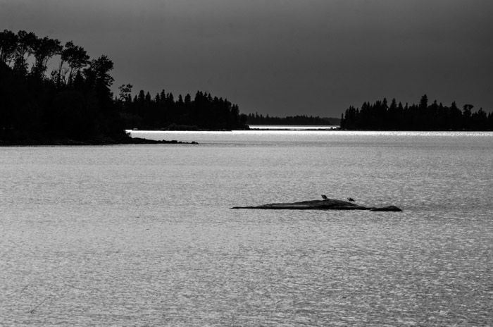
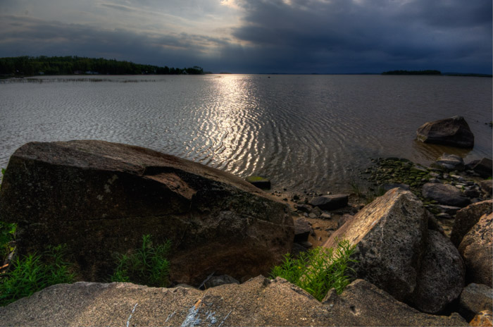
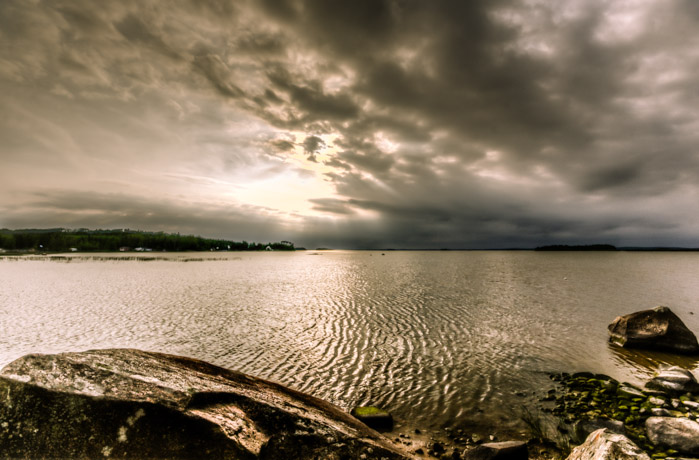
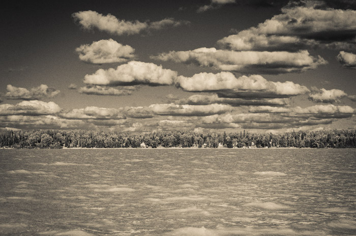
Next, a few shots of the view we had from our chalet on Lake Abitibi.
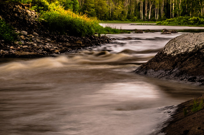
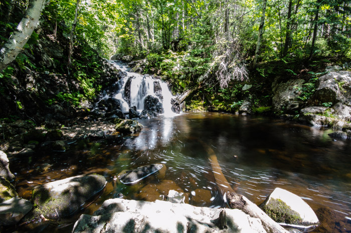
Nearby is Rapide-Danseur which is a small rapid that was in the past a major route for logging companies transporting logs by river to lake Abitibi and Ontario.
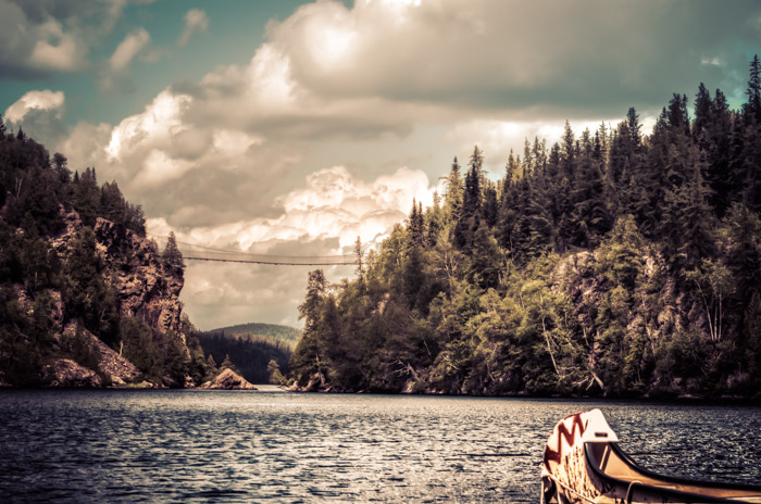
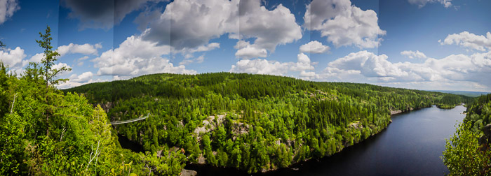
A major attraction in Abitibi is the Aiguebelle National Park. We only spent a few hours there and took the walking route to see the suspended bridge…I could certainly spend a lot more time here trekking (and canoeing) with my camera.
I did a couple of panorama’s. The first has some bad banding even though I set the white balance to cloudy, but hopefully gives a good idea of the views.
The next panorama was made with 65 handheld shots – hence the odd gap 😉
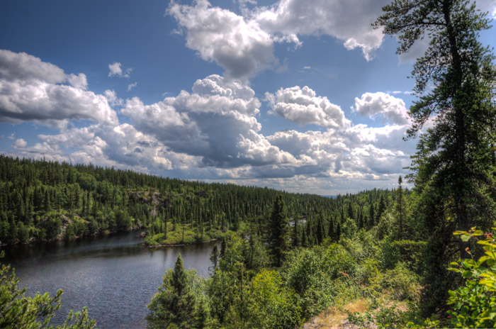
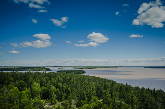
Another lake we spent quite a bit of time at was Lac Macamic. There’s a great lookout tower on the south shore that provides some great views.
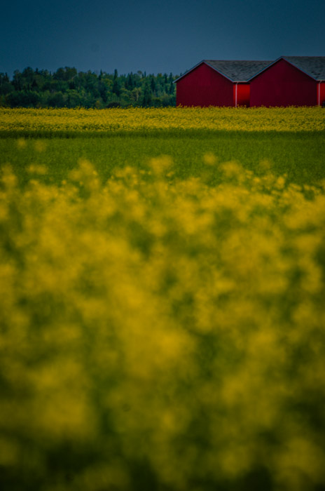
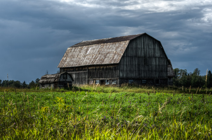
A common sight in Abitibi are double barns – barns either built in parallel or perpendicular to each other. The reason for the design is due to the long cold winters in the region, enabling farmers to not have to go outside as much as when barns are located further apart.
I loved this little barn standing next to it’s big brother which was of the perpendicular design.
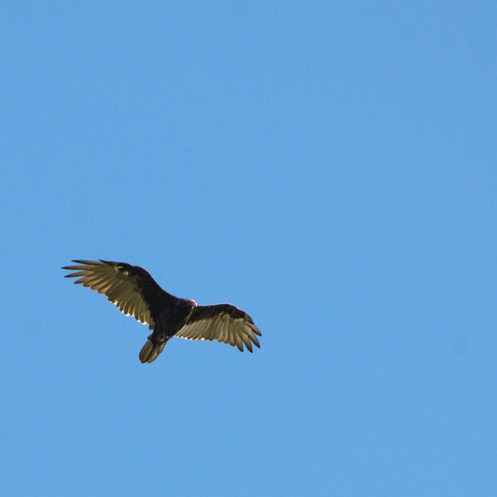
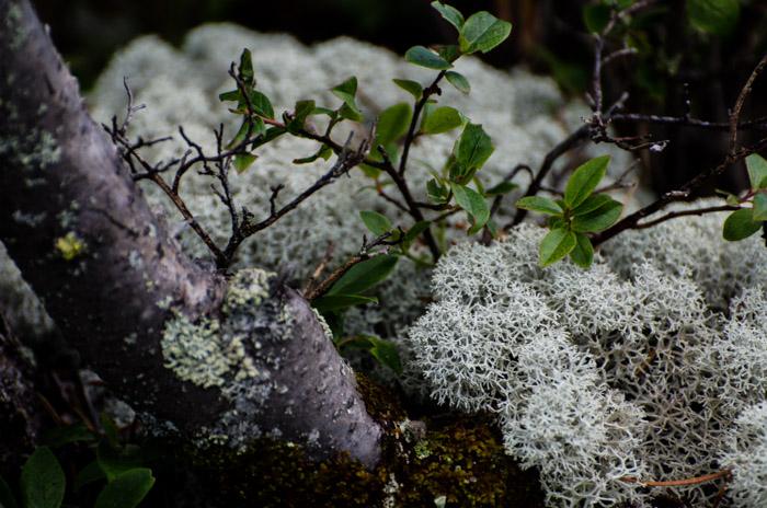
I didn’t take much in the way of wildlife and fauna shots, but here are a couple of shots I did take…
This first shot was of one of the many turkey vultures we saw flying over Macamic lake.
I’m not 100% sure, but I think this lichen (near the observation tower at Macamic lake) is commonly known as Caribou Moss.
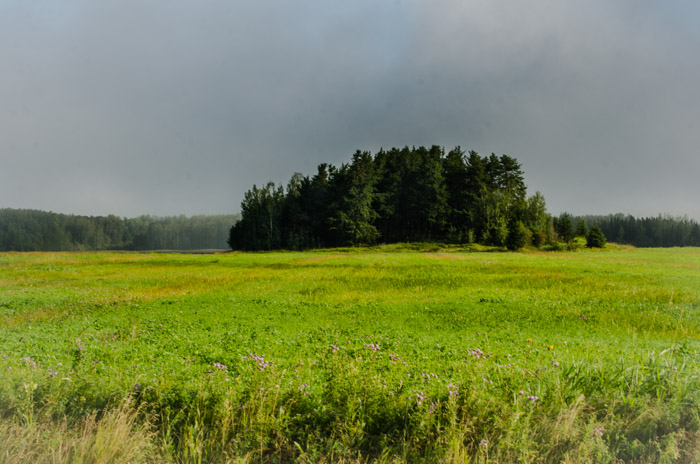
Abitibi certainly has some great landscape and I only managed to capture a very small part of it…It would be great to spend a lot more time there and shoot throughout the seasons – another item for the bucket list.
Thanks for stopping by. Until next time.
– Martin
