March 6 2012
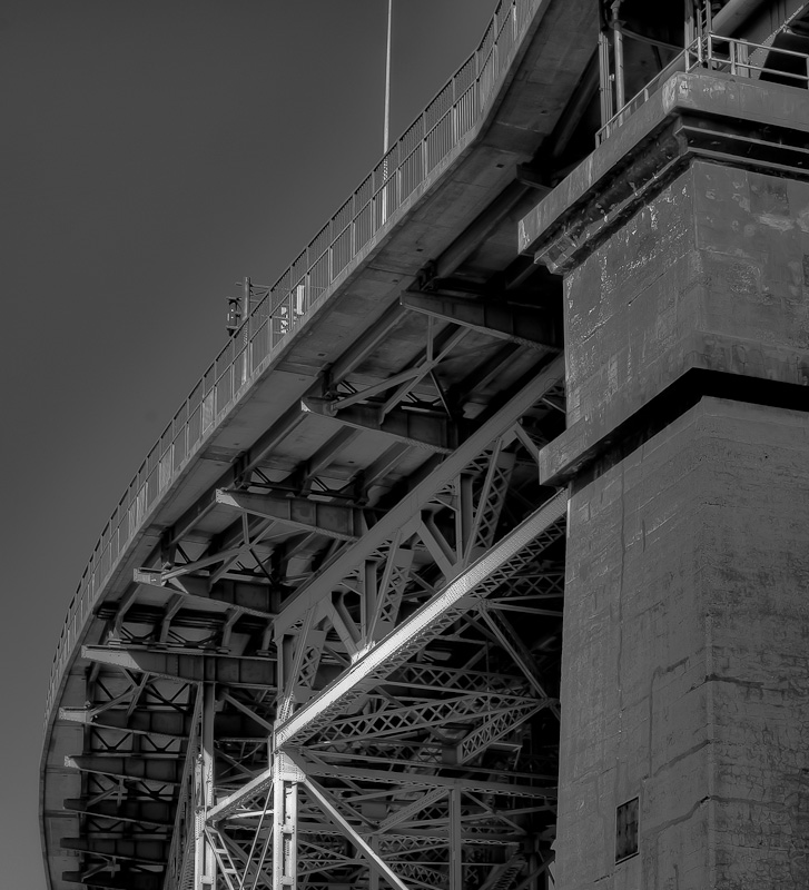
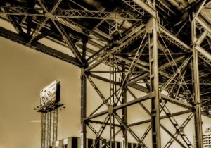
Despite it being a bit chilly out this morning (-16), I felt like going and taking some close-up shots of the Jacques Cartier bridge. A bright sunny morning is not probably the best time to go since the angle I really wanted to shoot from was directly into the sun…one for an evening shot I think.
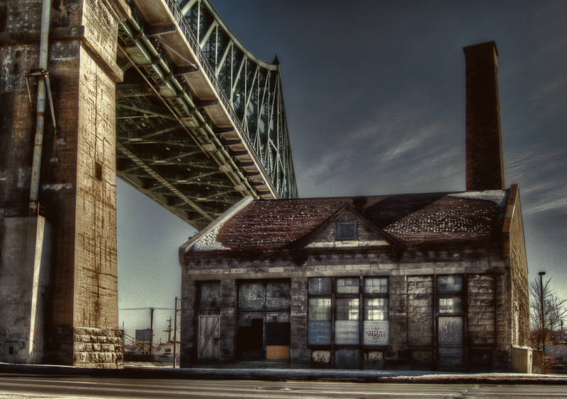
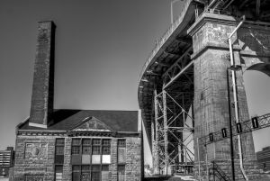
Having made the trek there though, I was determined to come away with something. On the west side of the bridge between blvd Ville-Marie and ave Viger est is the Craig pumping station.
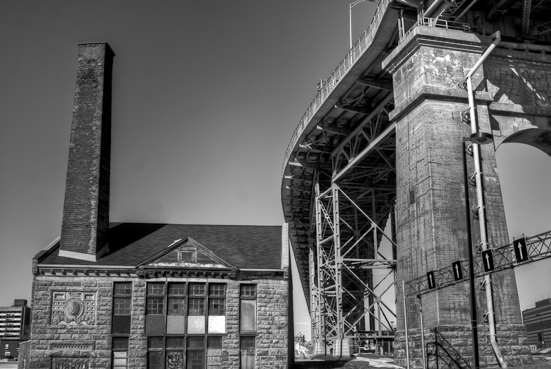
The Craig pumping station was built in 1887 after the Saint-Lawrence flooded the city up to Square Victoria in April 1886. Another pump station was built East of the Bonaventure. Both pumps were used almost every winter until 1950 to prevent another major flood. It seems today that flooding in Montreal still occurs on a fairly regular basis, anytime of the year, but is due to water pipes breaking or insufficient capacity of the drainage network in severe storms – but that’s another story.
In the 1950’s the Saint Lawrence was canalized and together with ice breakers being used to keep the Saint-Lawrence navigable year-round, there was no longer a requirement for the pumping stations. The City abandoned the station in the 1990’s, although according to a heritage group, the pumps and steam engines were still in situ in 2002…if correct, it would be great to get a peek inside 😉
Here is another shot taken from blvd Ville-Marie.
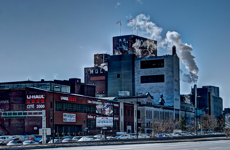
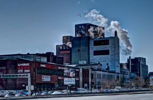
Just East of the Craig Pumping Station is the Molson Brewery on rue Notre-Dame est. Although I have taken a few shots of the brewery before, I don’t recall taking one from the East,. So while on avenue Viger I swung the camera round to get a shot.
You will notice in the foreground U-Haul. For anyone needing storage in Montreal, I recommend checking out this location – It’s clean with easy access.
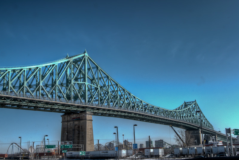
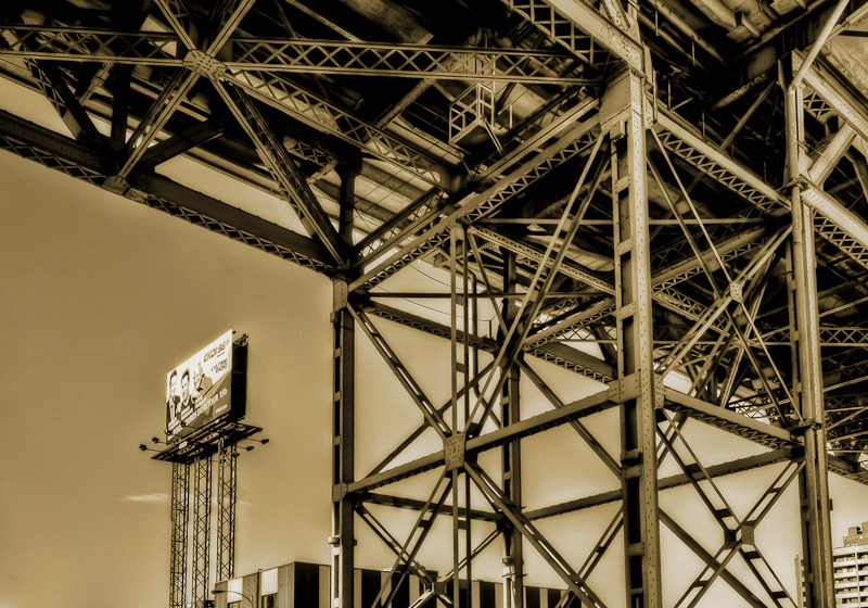
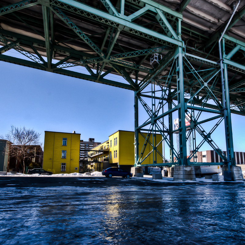
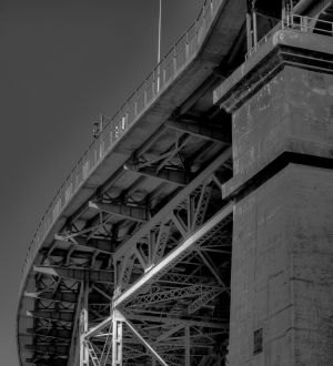
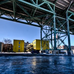
Okay, back to the Jacques Cartier bridge. As I mentioned, I could have chosen a better time of day to go shoot this location, but I made do and took some shots looking east and beneath the bridge to avoid sun blindness.
Forgive me if I already posted a little history on the bridge, but if you’re interested at least it saves you clicking on a link or searching.
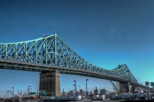
The Jacques Cartier Bridge is a steel truss cantilever bridge spanning the Saint-Lawrence river and is 3.4km long. Approximately 36 million vehicles cross the 5 lane bridge annually, making it the 3rd busiest bridge in Canada – behind the Champlain Bridge (2nd) and the busiest – the Port Mann Bridge in Vancouver.
The Jacques Cartier crosses Île Sainte-Hélène in the centre of the river, where offramps allow access to the Parc Jean-Drapeau and La Ronde amusement park.
Discussions began as early as 1874 about the construction of a new bridge to alleviate the congestion on the Victoria Bridge (at the time a railway bridge) and the ferries that connected the city to the south shore. Construction began in 1925 and completed and opened on May 14 1930. It was originally named the Montreal Harbour Bridge (pont du Havre) but was renamed in 1934 to commemorate the 400th anniversary of Jacques Cartier’s first voyage up the St. Lawrence River.
The original design included a tramway which was never actually used – seems ironic that today the City is fighting for a new tramway system to be built in Montreal and there is a need for better public transport for South Shore commuters. Likewise, it used to be a toll bridge until 1962 and today there is much talk of once again introducing tolls on the Montreal bridges to help curb congestion.
One other interesting fact I read – due to there being an average of 10 suicides a year, in 2004 a suicide prevention barrier was installed.
Every summer, the bridge is closed to traffic and becomes a giant grandstand for spectators of the bi-weekly Montreal Fireworks Festival that takes place from late June to late July.
Okay, history lesson over, here are some more pics:
I will certainly be heading back to shoot more of the Jacques-Cartier bridge and definitely at night to get some long exposure shots.
To view images in gallery format, simply click on one of the images below.
Thanks for stopping by. Until next time.
– Martin
