Despite living on the edge of McGill Ghetto, it’s an area that I have seldom photographed. Today I was a bit rushed and not having much time to go far afield for shooting, I decided I would take a quick 10 minute walk around my local neighbourhood.
A little history of The McGill Ghetto
The official name for this small neighbourhood within the Plateau Mont-Royal borough is Milton-Parc – named after the 2 main streets that run through the area (rue Milton and Avenue du Parc). The boundary of the Ghetto is :
- West: rue University and the McGill University campus
- East: Avenue du Parc (although some regard the boundary as being Boulevard Saint-Laurent)
- North: Avenue des Pins
- South: Rue Sherbrooke
The neighbourhood is characterized by a mix of rowhouses and low- to mid-rise apartment buildings. Many of the historic townhouses were built in the late 19th century for affluent businessmen and their families and remained such until the mid 20th century. Following World War II, families gradually moved out, with many homes being converted into duplexes into rooming houses. Other homes were demolished and replaced by new low-rise or high-rise buildings.
A key defining moment was in the early 70’s when a small group of developers purchased 90% of the buildings that stood on the six-block area of Hutchison, Pine, Sainte-Famille and Milton. The developer’s had planned to demolish the entire area and transform it by building mdern high-rise apartment and commercial buildings. Phase 1 (The three La Cité apartment towers, underground shopping mall, Hotel – now a McGill student residency) and an Office tower. Thankfully economic and political events prevented the other planned development phases from coming to fruition and led to the birth of numerous co-operative housing projects.
I’ve only touched the surface of the very intersting history being this area, but if you are interested in learning more, you should check out the Milton-Parc Community website.
Okay time for some pictures.
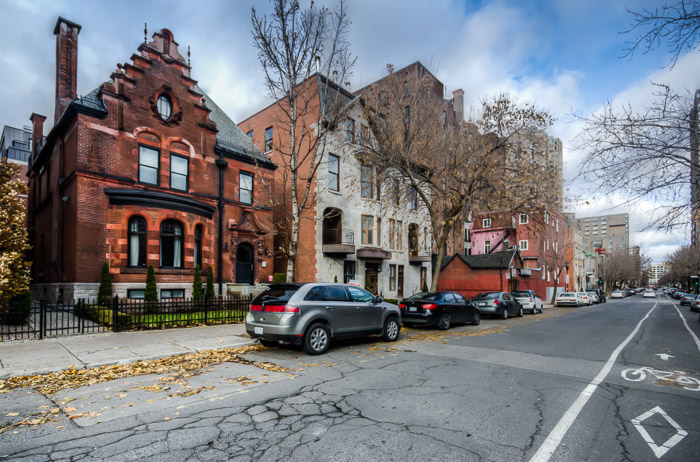
The first shot is looking east along rue Prince Arthur.
The towers in the background are the La Cité apartments and in the foreground is Maison James Harper built in 1897. The Harper house has seen many uses over the years, in 1957 it was a fraternity house of McGill – The Phi Gamma Delta. Since then it has been a hostel and Hare Krishna temple. The building was entirely renovated and enlarged in recent years and is now upscale condo’s.
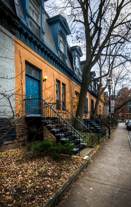
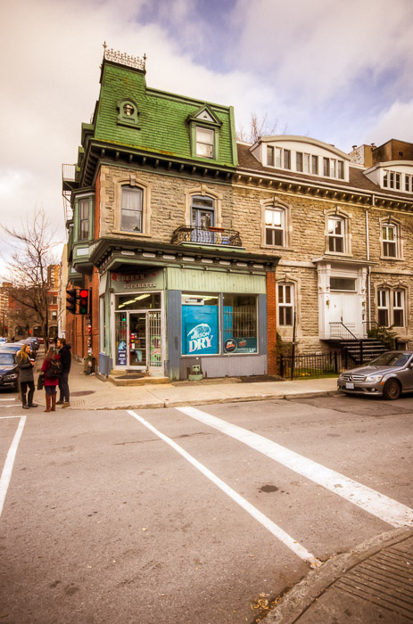
There are many examples of townhouses still remaining in the area, like these on Avenue Lorne…
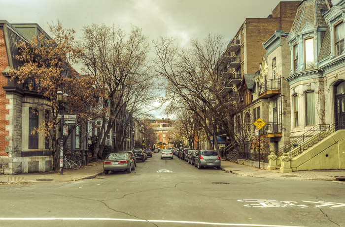
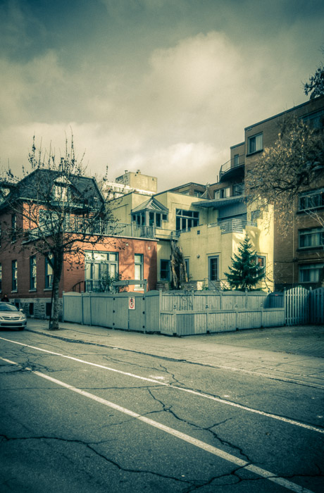
In the next shot you can see a great juxtoposition between the old style homes and the modern mid-rise apartment buildings.
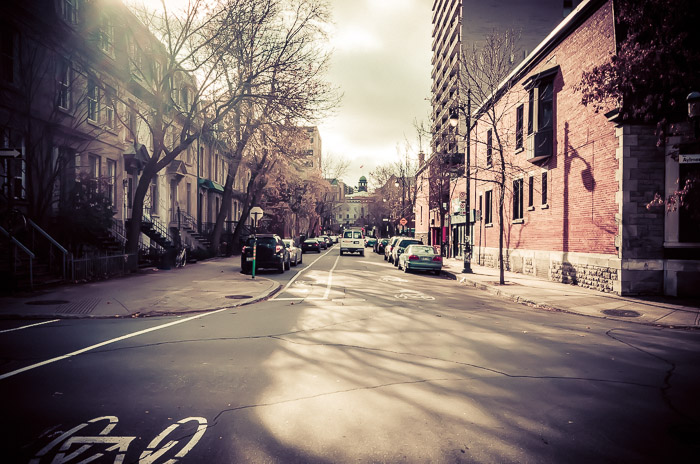
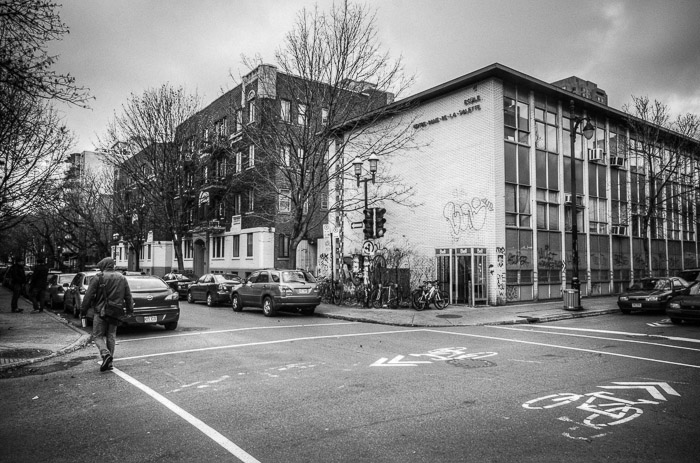
Looking west up Milton you can see the dome of the Arts building of McGill University.
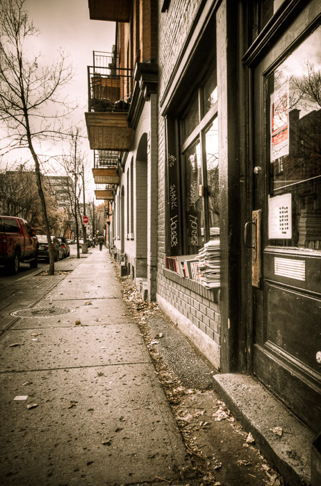
A well known spot on rue Milton is The Word bookstore.
Like I mentioned, I was short on time today and now having learned a little more on the history, I really hope to cover this interesting area in a lot more detail, maybe even culminating in producing a book.
Thanks for stopping by. Until next time.
– Martin
Montréal in Pictures
Your virtual guide in and around Montréal


3 Comments
Thanks for the stroll down memory lane. Love the hyper-saturation of colours in your photos. Good to know the old depanneur is still there some 30 years later. Would love to see a photo gallery of the shops and restaurants in the area (e.g. McGill Pizza, Brasserie Henri Richard, etc)….of course, some may not even be around anymore and won’t recognize the newer ones.
Thanks Norm…I look forward to doing more posts on this neighbourhood. I can’t say I know either the McGill Pizza or Basserie Henri Richard, but they may be still around, do you remember the street they were on? Thanks for stopping by
Hi Martin.
Looks like McGill pizza is on 1253 McGill College still, but the Brasserie Henry Richard is no longer (http://markhebscher.blogspot.ca/2013/04/when-pocket-rocket-was-my-bartender.html), To bad, it was an iconic place, not only because of the connection of the Habs of old, but as a previous hang out for many Ghetto-ites.
Norm